DroneDeploy
Reality capture platform for site understanding, quality, safety, and progress.
Pricing:Paid
Price: $299/month
About
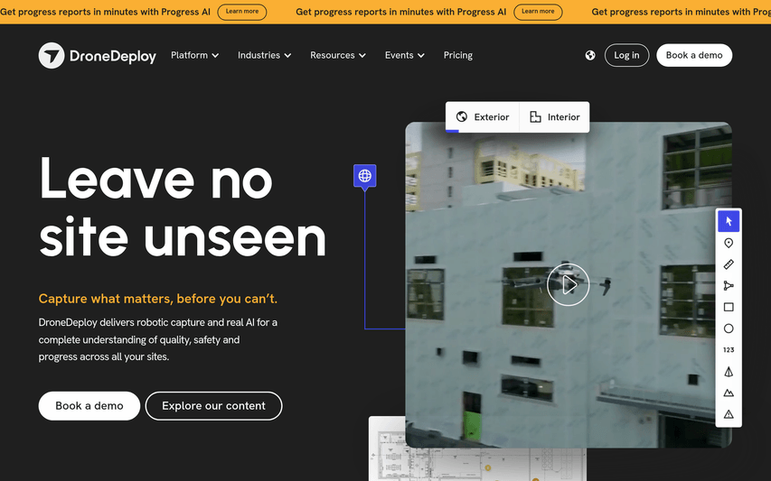
DroneDeploy is a reality capture platform that uses drones and ground robots to create detailed maps and 3D models of job sites. It helps businesses in industries like construction, agriculture, and energy to improve site understanding, monitor progress, and enhance safety and quality.
Key Features
Drone Mapping and 3D Modeling
Create high-resolution maps and 3D models of your sites.
Site Analysis
Analyze your site data to measure volumes, track progress, and identify issues.
How to Use DroneDeploy
Plan your drone flight in the DroneDeploy app, fly your drone to capture the data, and then upload the data to the platform to create your map or model.
Use Cases
•Construction Site Monitoring
•Agricultural Crop Analysis
•Infrastructure Inspection
Frequently Asked Questions
Q: What kind of drones are compatible?
A: DroneDeploy is compatible with a wide range of drones from manufacturers like DJI and Skydio.
